
Ride smarter.
Ride further.
The route platform built by riders, for riders. Share the trails you love, rate every segment, and let the AI stitch them into your next ride — with real terrain, real surfaces, real elevation.
▸ Workflow
How it works
Describe
Talk to the planner like your riding buddy — start point, hours, surface, vibe. No forms, no dropdowns.
AI proposes
Three route variants come back in seconds with real terrain, elevation profile and a segment-level risk score.
Ride & share
Preview in 3D, download GPX, send it to your Garmin. Ride it, then rate every segment for the next rider.
▸ Features
Built for adventure riders
▸ Chat AI
Plan by conversation
Skip the form fields. Talk to it like you'd talk to your riding buddy.
▸ Community
Shared by riders
Every route on the platform is dropped by someone who actually rode it — with notes, photos and hazards.
▸ GPX I/O
Import & export
GPX 1.1 in, GPX 1.1 out. Garmin, TomTom, Osmand, Kurviger.
▸ Community
Ratings that mean it
Rider feedback per segment — not per hotel.
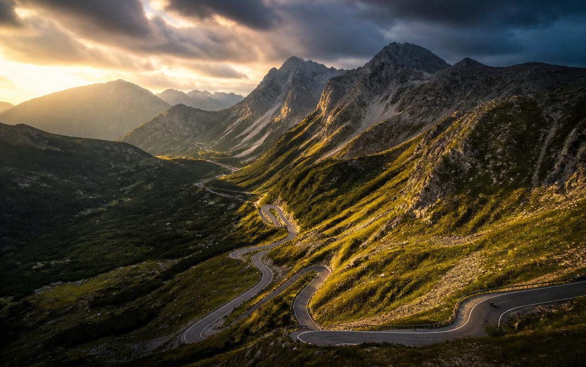
▸ Real Terrain
See every switchback before you ride it.
- NASA SRTM · 30m resolution
- OpenTopoData cross-validation
- Adaptive vertical scaling ×4.5
- Surface classification via OSM tags
- Seasonal closure & legal-access checks
▸ Live
The community, right now
Routes shared
Segments rated
Countries ridden
Avg. rating
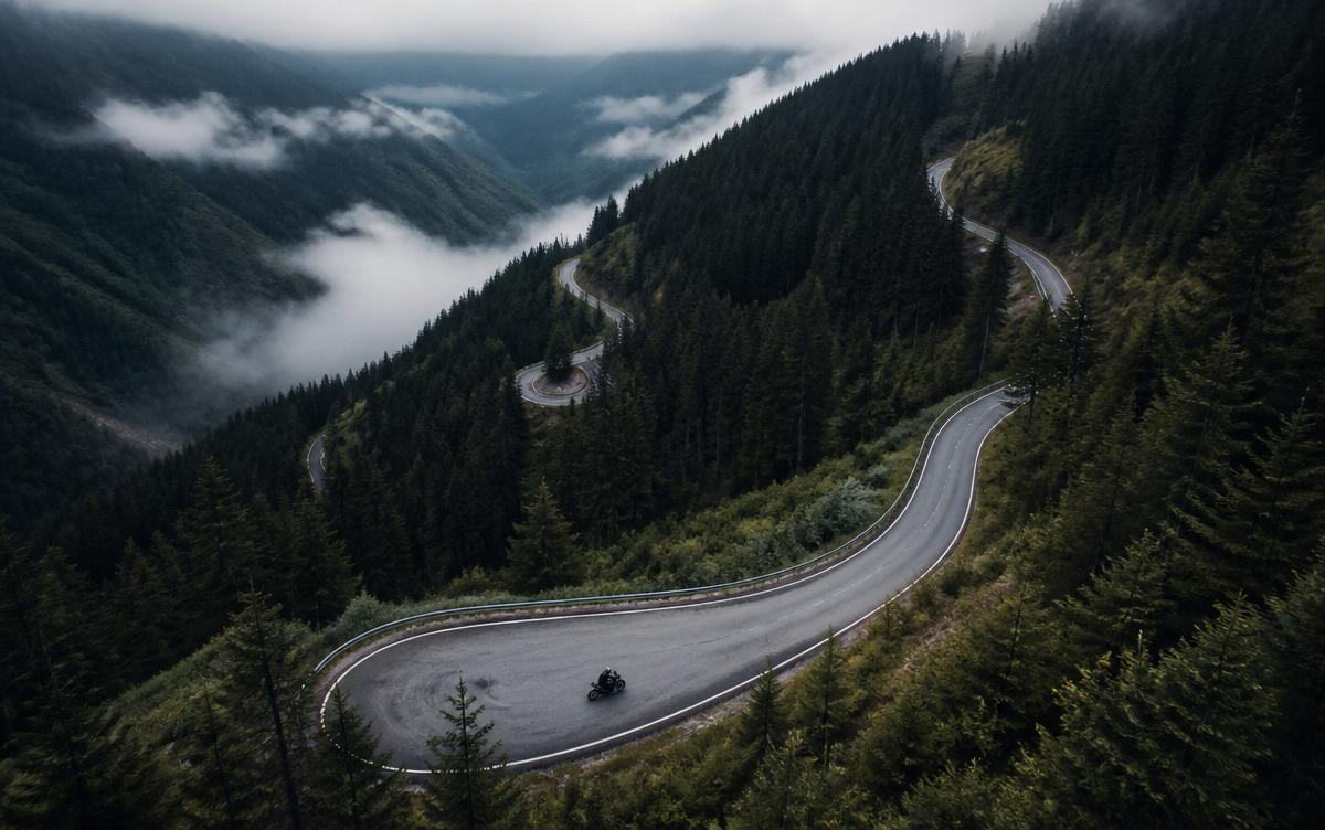
Planned a 3-day loop across the Tatras in nine minutes. Every gravel section was exactly where it said it would be.
▸ FAQ
Answers
Riders share their own routes with the community. Everything is rated segment by segment, so the best lines rise to the top and you always know what you're rolling into.
NASA SRTM at 30-meter resolution, cross-referenced with OpenTopoData for edge-case terrain and OSM for surface classification.
Yes. Every route exports as GPX 1.1 with waypoints and elevation, so it drops straight into Garmin, TomTom, Osmand and Kurviger.
No. The AI ranks and stitches real OSM segments. Every meter of every route exists on the map before you see it.
Yes. Tell it 70% gravel, or forest tracks only — the planner respects surface, seasonal closure and legal access.
The route discovery beta is free. Pricing lands with the mobile companion.